These and other concerns are addressed and explained in the first-ever SOIL ATLAS OF AFRICA using eye-catching maps, educational prose, and breathtaking photos. This paper is for collaboration among top soil experts in Europe and Africa. Using cutting edge computer mapping techniques, the Soil Atlas of Africa illustrates how soil composition varies throughout the continent. It explains soil functions and how they relate to leading online soil information sources for African regions and global problems.
Synopsis
 A growing number of nations employ ecosystem services (ESs) as a foundation for tackling the Sustainable Development Goals (SDGs) of the United Nations (UN). This review research regarding the suitability of soil databases for ESs and SDGs is the first of its kind for North Africa.
The paper is to explain the accessible online resources for soil information in Africa linked to an ES framework, outline the common disservices that the country provides, and provide examples of how soil databases are for ES applications (like Healthy Eating Plate). The biggest obstacles (disservices) to agriculture and future growth are desertification, salinization, and finite freshwater supplies.
A more precise rendition
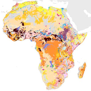
A more precise version of the maps was released, utilising 18,000 georeferenced soil profile records from 41 nations across more than 450 data sources, including digital databases, books, papers, and articles. Meanwhile, AfSIS researchers used a mix of soil spectroscopy and laboratory analysis to analyse recently obtained topsoil samples from over 9,500 sites.
Old and new soil data records get integrated with remote-sensing-based photographs of the terrain relief, vegetation, and climate to estimate the soil attributes for the non-desert parts of Africa.
The Farmer app
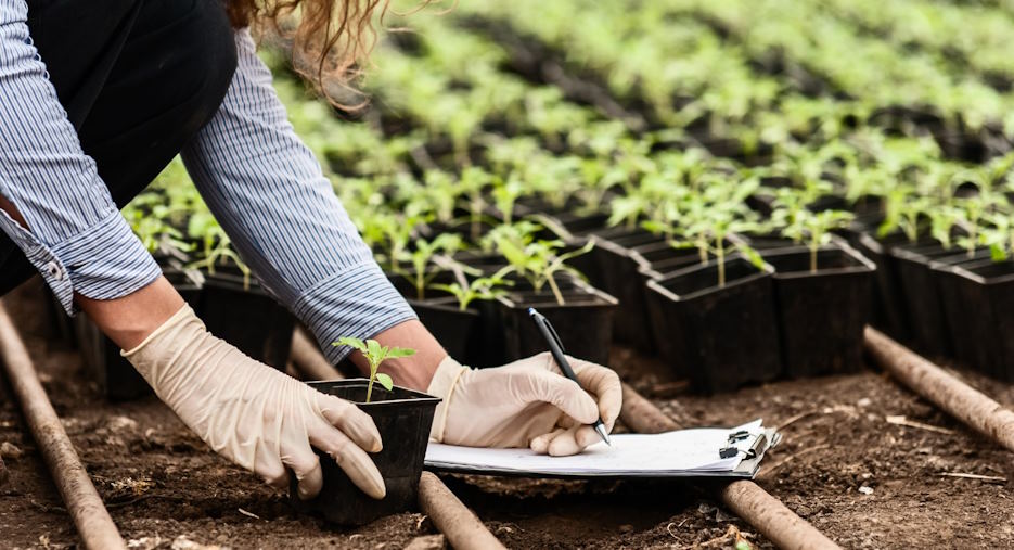
The digitised soil property maps are among the results of the AfSIS project, headed by the Columbia University Global Center in Nairobi. Up-to-date soil databases, techniques for monitoring land degradation, and soil scientist training are more than other goods offered by AfSIS. The eventual objective of these information systems is to enable farmers to download real-time best digital platforms for African soil data and accompanying fertilisation suggestions directly onto their smartphones.
Satellites, crowds, and drones
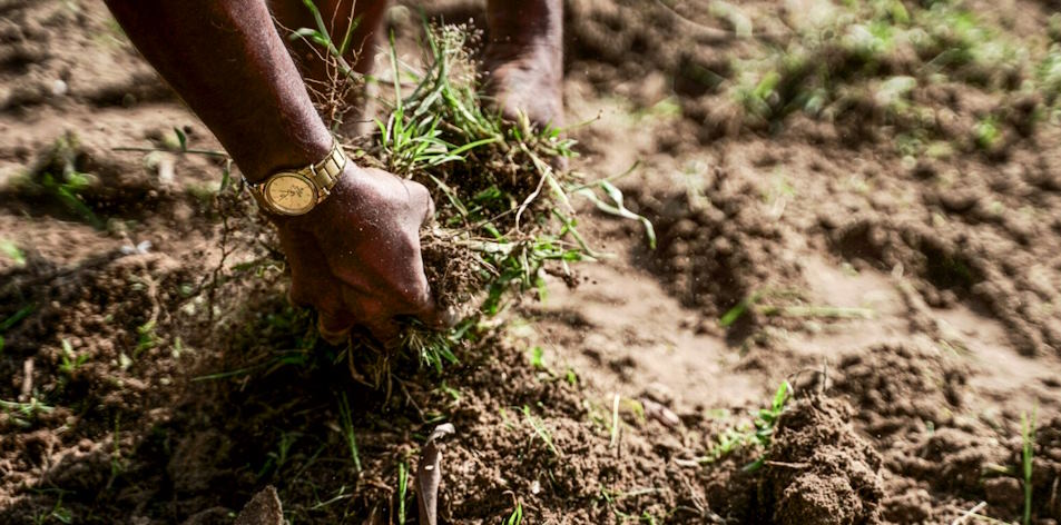
In addition to employing airborne drones and soil samples that volunteers and field professionals bring in, AfSIS obtains its own data and satellite photos. They merge the updated data with historical maps stored on paper and in digital databases. Most maps were created in the 1980s and 1990s using pen and paper. According to Ms. Ramaswamy, much of the geographical mapping data is not digital.
To close this disparity, we gathered research that contrasted soil characteristics and agricultural output under conventional management techniques with those under conservational management approaches. We termed our worldwide soil health database Soil after it was created by digitising publications that fit requirements.
Newly released and preliminary data added to this open-source, web-based dataset. As indicators of soil health or for agronomic response statistical analysis (meta-analyses), the dataset can be utilised. It gives a common framework for soil health to interchange and integrate field measurements and related data. Farmers, agency staff, and scientists may use this information to plan and assess farmland management.